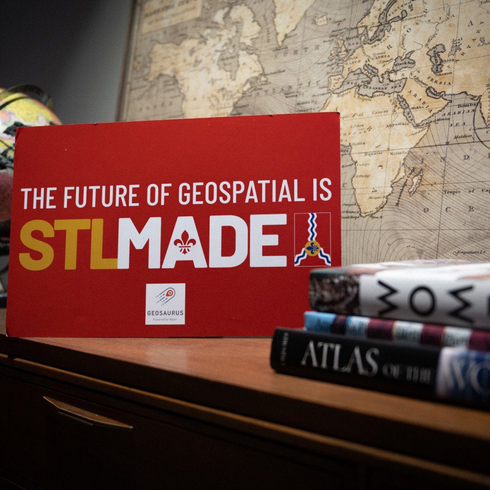
geospatial
Mapping Out The Future
St. Louis is positioned to become an international hub for the geospatial industry.
Mapping Inequities
Kemba Noel-London used geospatial data in her doctoral research to discover disparities in access to youth sports throughout the St.…

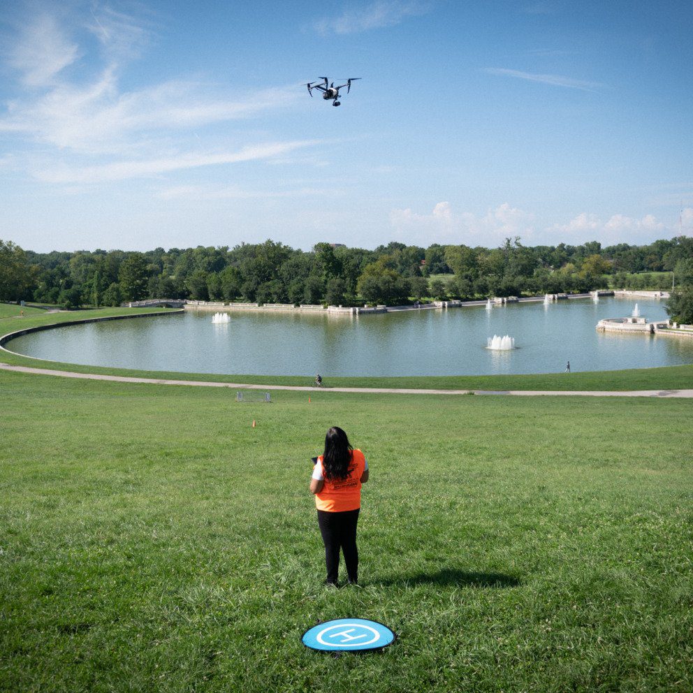
Flying High
Entrepreneur Bronwyn Morgan brings drones and geospatial tech together with her company, XEO Air.
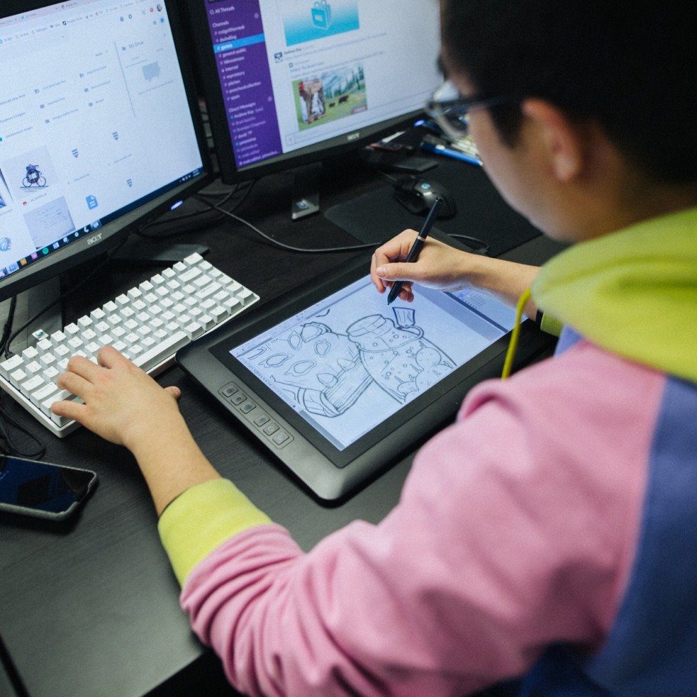
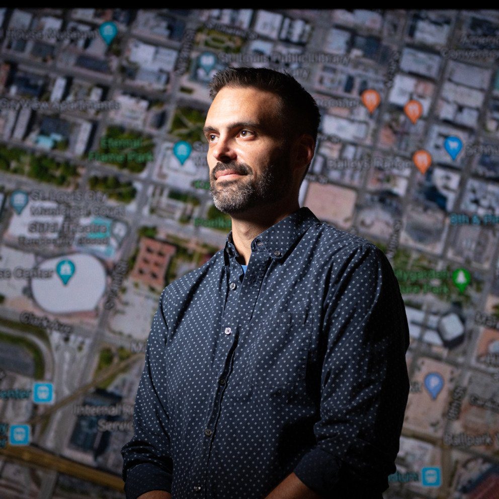
Defining
Geospatial
Leaders in the region explain geospatial technology and the many ways it's being used in St. Louis.
Data for the Greater Good
Saint Louis University professor Enbal Shacham, Ph.D., uses geospatial techniques to track the spread of the coronavirus.

Career Center
New industries in St. Louis are helping to fuel Missouri’s rise in employment opportunities.