

What Is Geospatial?

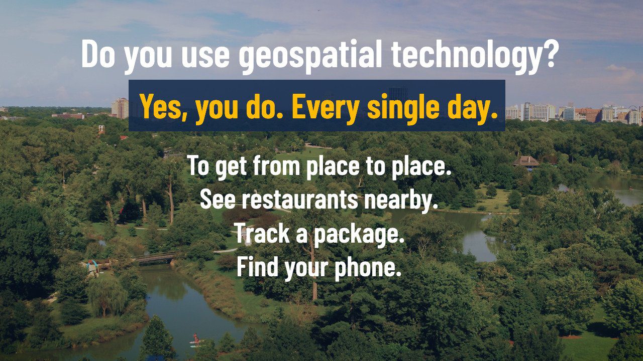

To get from place to place.
To see what restaurants are nearby.
To track a package.
To find your phone.
Yes, you do. Every single day.
Do you use geospatial technology?
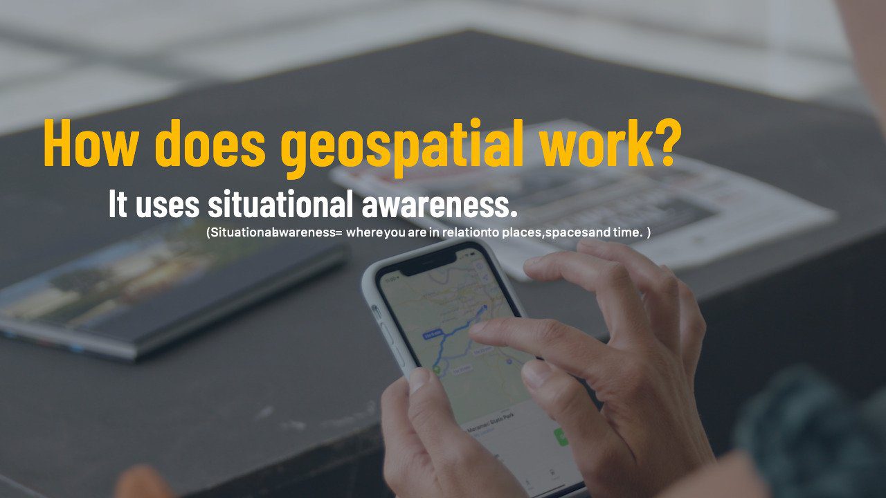
How does geospatial work?
It uses situational awareness.
(Situational awareness = where you are in relation to places, spaces and time. )


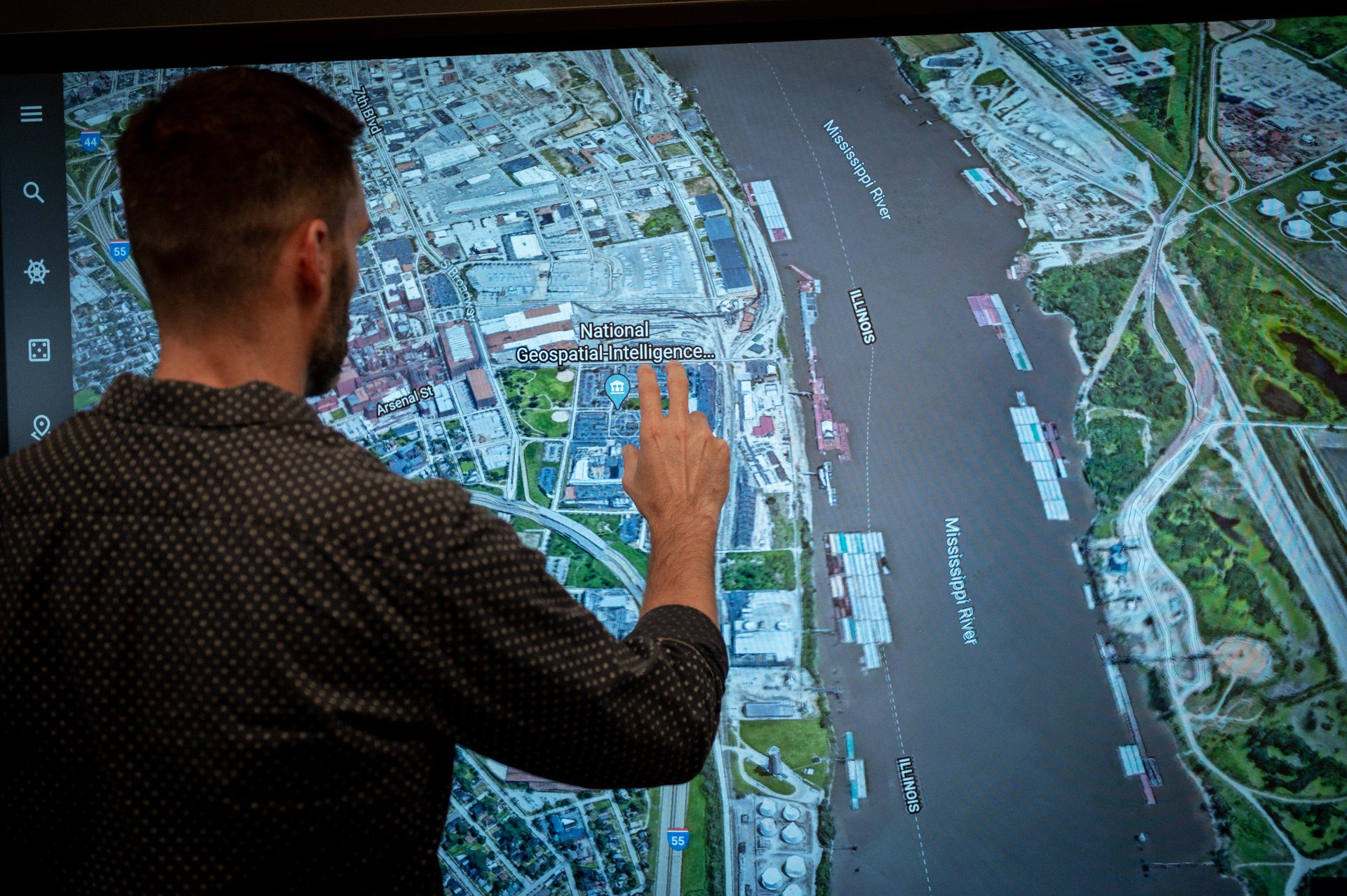
The National Geospatial-Intelligence
Agency (NGA) uses it to keep the U.S. safe.
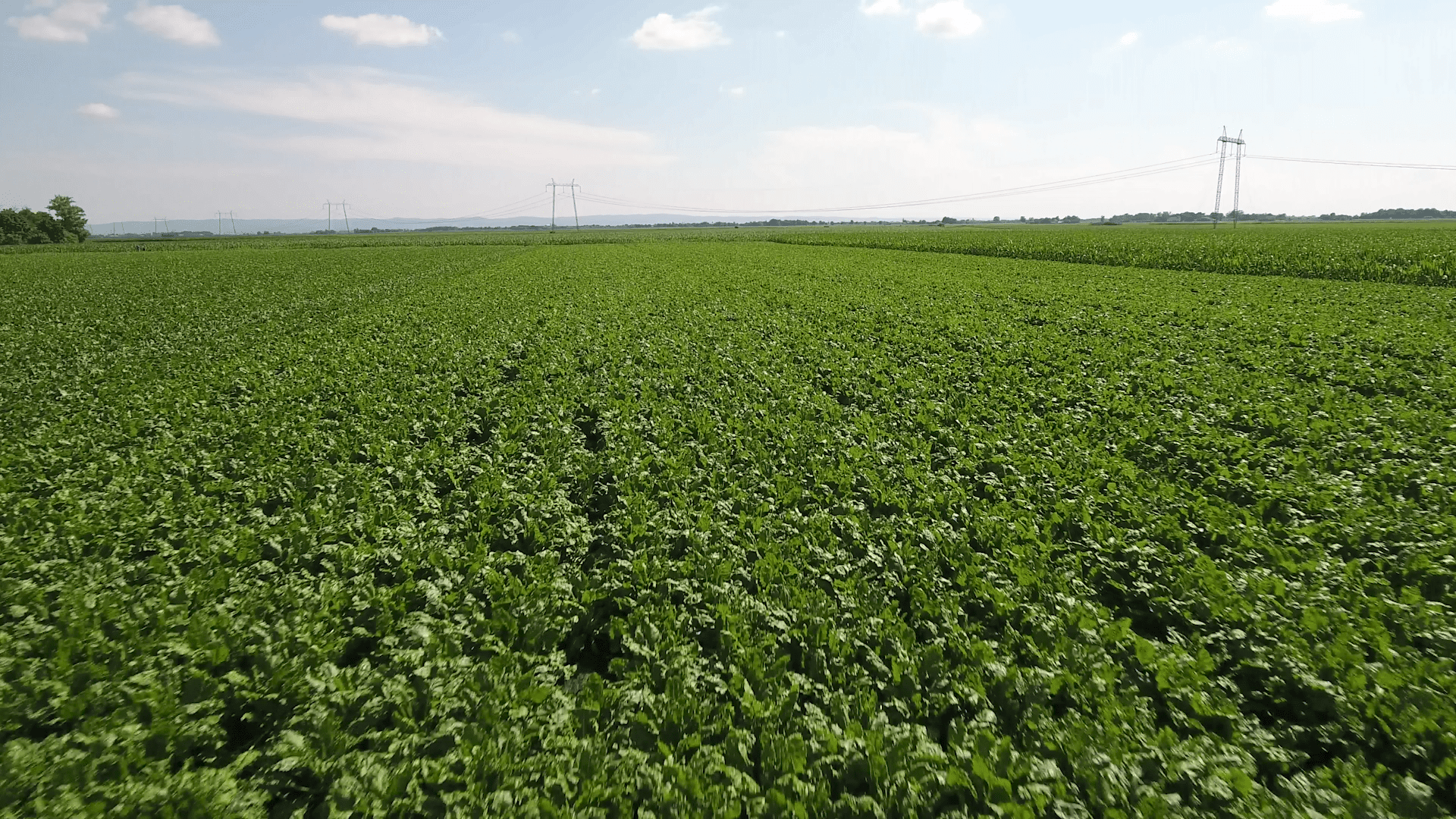

Farmers use it to improve their crops.
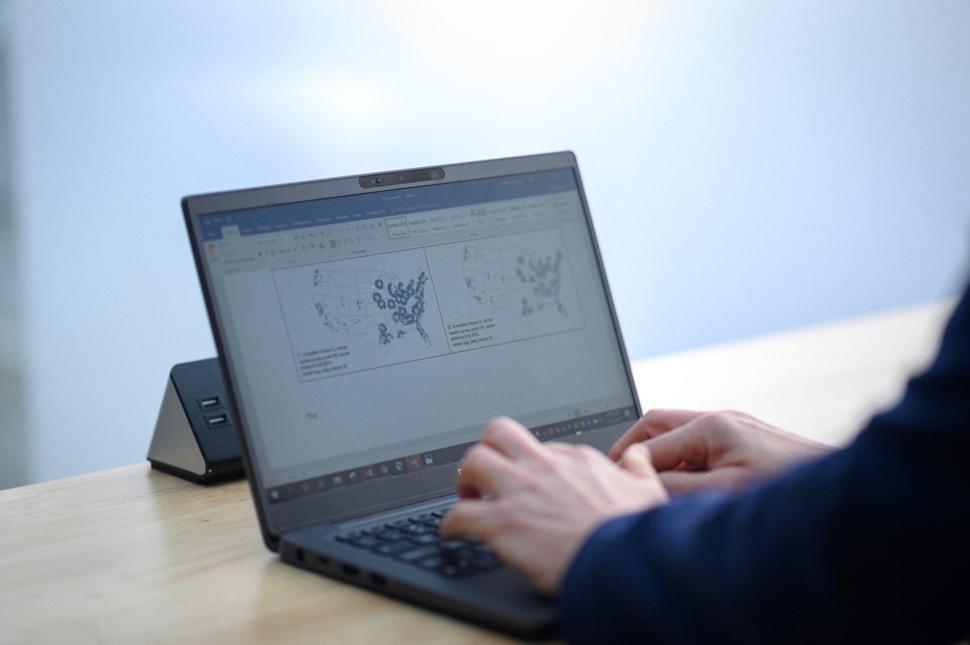
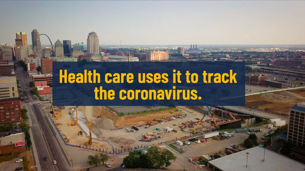
Health care professionals
use it to track the spread of COVID-19.
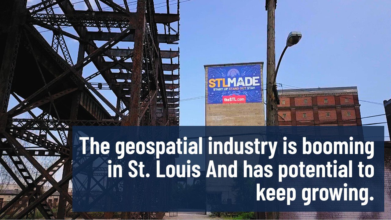
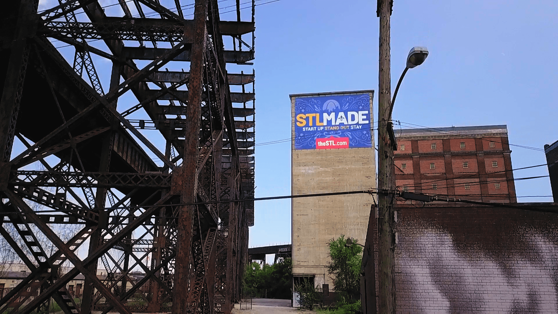
The geospatial industry is
booming in St. Louis.
And has potential to keep growing.
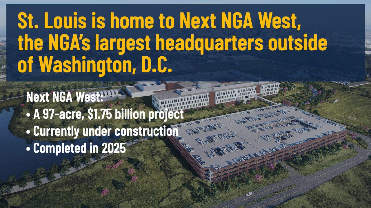
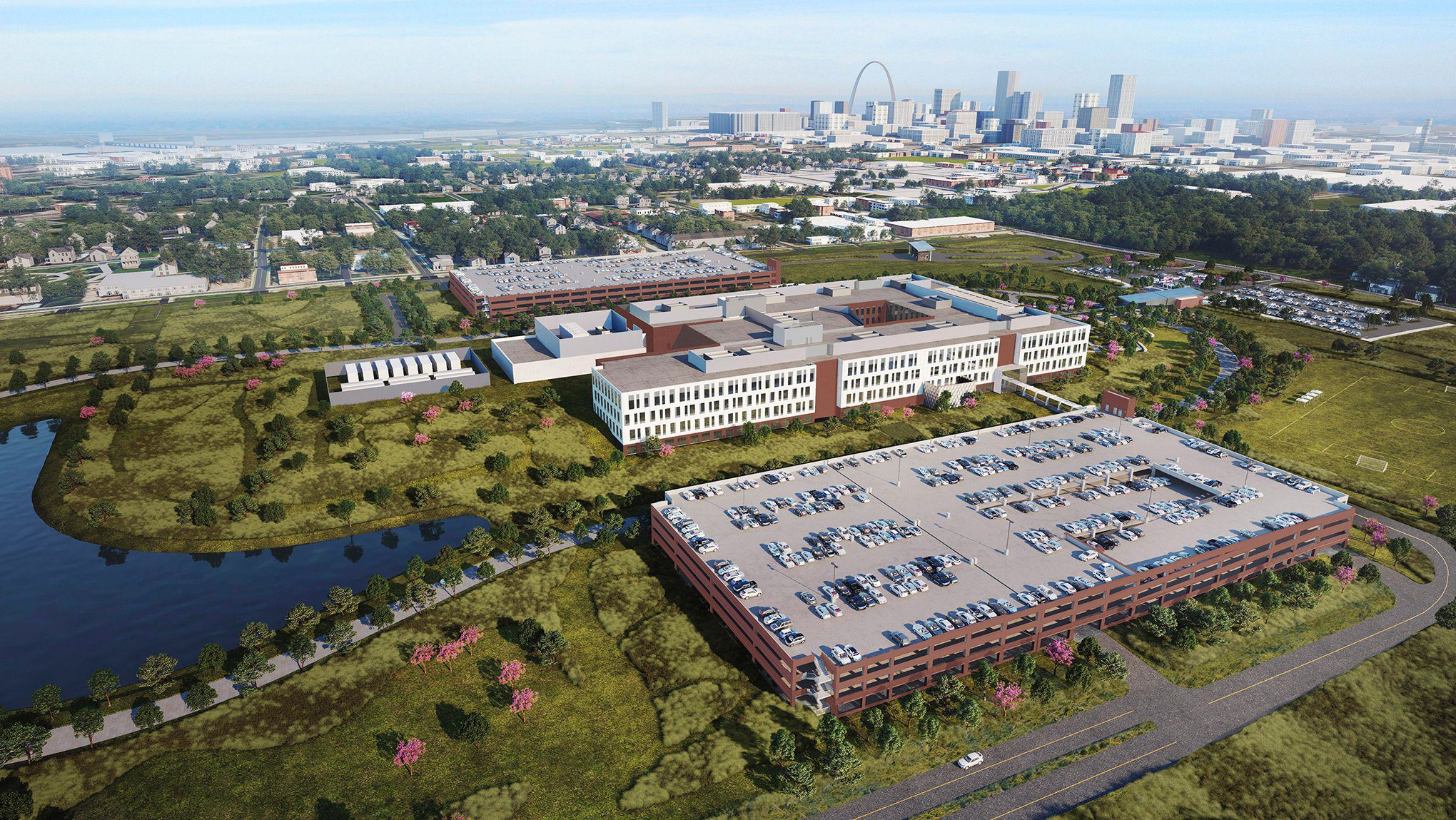
St. Louis is home to NGA West,
the NGA’s largest headquarters
outside of Washington, D.C.
In 2025, the NGA will relocate to Next NGA West.
This 97-acre, $1.75 billion project is currently under construction
in North St. Louis.
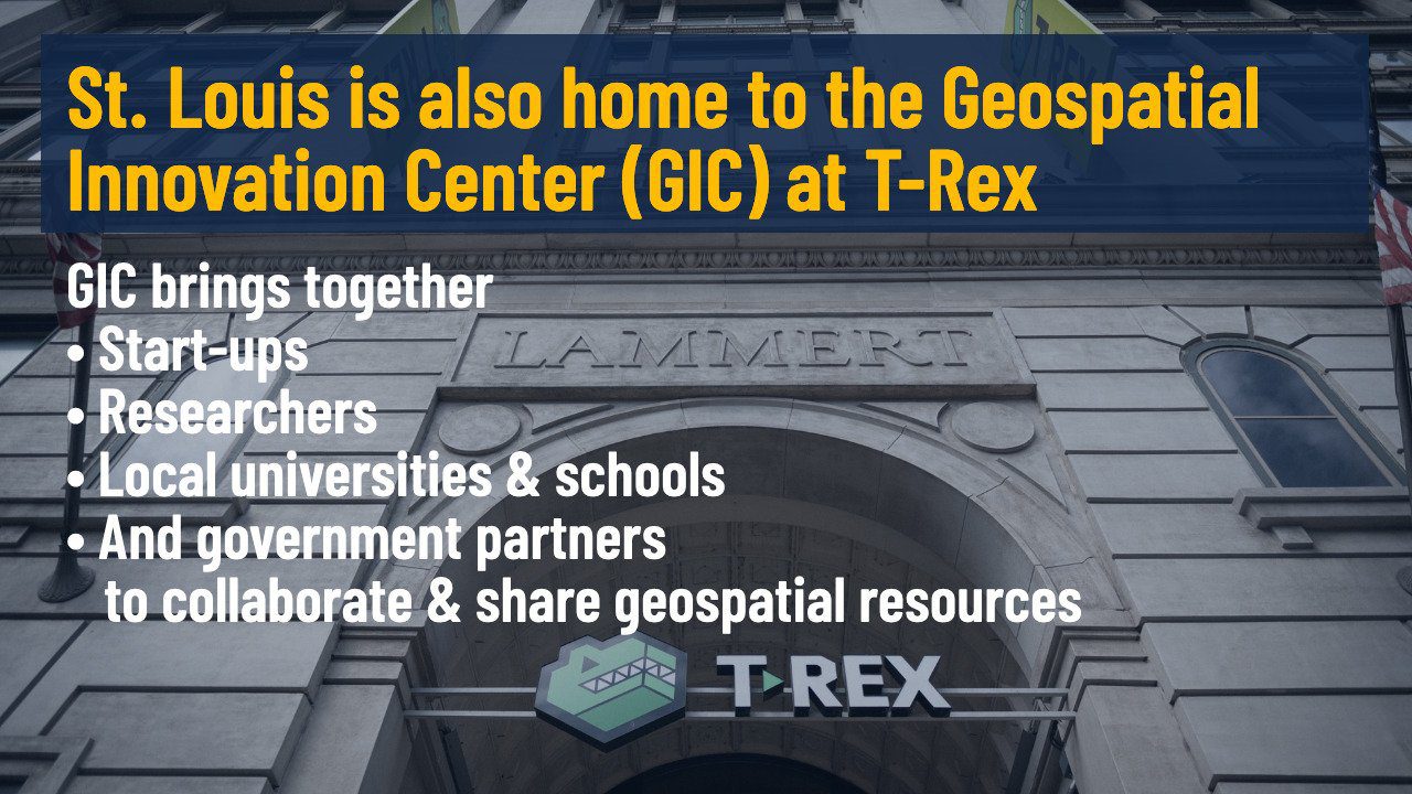

GIC brings together:
• Start-ups
• Researchers
• Local universities and schools
• Government partners
• Industry leaders
St. Louis is also home to the Geospatial
Innovation Center (GIC) at T-REX

TEConomy Partners assessed our region
and found the St. Louis geospatial industry:
• Supports 27,000 direct and indirect jobs
• Includes over 350 companies and organizations
• Produces a nearly $5 billion economic impact
Study commissioned by the St. Louis economic development community
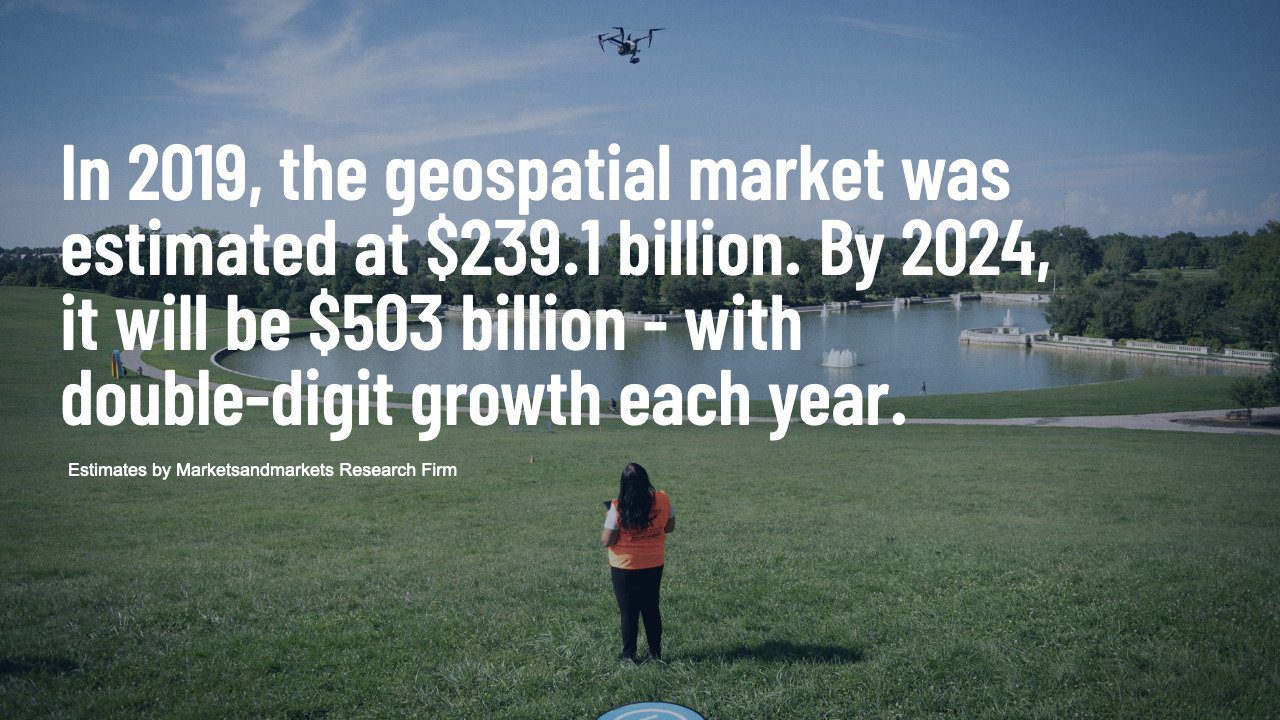

In 2019, the geospatial market was
estimated at $239.1 billion.
By 2024,
it will be $503 billion - with
double-digit growth each year.
Estimates by Marketsandmarkets Research Firm

St. Louis has the opportunity to be a
global hub for geospatial.
How do we get there?
• Scaling up talent
• Raising innovation capacity
• Accelerating entrepreneurship
• Positioning St. Louis as a national thought leader


GeoFutures is committed to equitable
and inclusive regional growth through:
• Establishing programs for Black tech entrepreneurs
• Supporting community-led development in North St. Louis
• Deepening K-16 tech education, focusing on
under-represented communities


Geospatial is an incredible
opportunity for St. Louis to transform.
And for people from all over the region
to be a part of it.

THE FUTURE OF GEOSPATIAL IS